
The Situation
With 99 million trips last year, Portland’s TriMet is an award-winning transit system with a forward-thinking approach to technology. When TriMet set out to overhaul their Interactive System Map and integrate it with their existing Trip Planner, they wanted to switch out proprietary components for open source alternatives.
the TriMet team carried out a prototype project, building a working system based on open source components: GeoServer, OpenLayers and PostGIS. Based on the experience with the prototype, TriMet moved to build a production system, and they had a beta application ready. However, now that it was time to move into production, a new question arose: who would provide support for the open source software (GeoServer, OpenLayers, PostGIS) underlying the new system?
TriMet needed a support partner, one who would build reliable, extensible technology while providing world-class support for all the components of the new Trip Planner.
OpenGeo was a perfect fit: the organization had the stability and skills to support TriMet in the long term and the GeoServer Enterprise support contract provided guaranteed access to experts in the software.
“GeoServer Enterprise offered us the flexible and comprehensive support we were looking for: expertise and knowledge transfer from core developers; feature development that's incorporated into the source code; unlimited priority bug fixes; and fast and reliable technical support,” says Bibiana McHugh, TriMet’s IT Manager of GIS and Location-Based Services.
Because OpenGeo is a core contributor to all the technologies TriMet has deployed – PostGIS, GeoServer, and OpenLayers – we can ensure that all software enhancements make it back into the project source code.
On The Move
OpenGeo believes in engaging our technical leaders directly with the client, rather than interposing a layer of management – the people who are creating the solutions need to have a first-hand understanding of the problems. For the TriMet contract, OpenLayers expert Tim Schaub was assigned to work directly with the client.
Tim began by taking a trip to the TriMet office. Tim has more than a decade of experience building geospatial solutions for conservation and planning authorities in the Pacific Northwest.
“Tim came to our office and spent several days with my team,” says Bibiana. Knowing he was taking the time to get a full understanding of where we were and what we needed set the tone for a very successful and transparent working relationship. “
Over the next few months, Tim worked with the TriMet developers to roll out new features in the Trip Planner. OpenLayers was enhanced with a new measuring tool that helps TriMet staff plan accessible transit trip. GeoServer was enhanced to provide better cartographic rendering features, like street name labels that closely follow the roads.
All the software improvements were made available to TriMet immediately, and also rolled into the core projects, for long-term maintenance and support. The development was tracked using an open ticket tracker and mailing lists, so TriMet could track the work in as much detail as they liked.
“We knew exactly how the work was coming along, and we could see that hours weren't inflated,” says Bibiana. “That trust goes a long way.”
Open Technology and Standards
The OpenGeo suite is standards-enabled by default. That means that all the services TriMet built for the Trip Planner were easily re-usable in other projects. The GeoServer map service is available in a standards-compliant “Web Map Server” and now used by other levels of government as a high quality base map for the region.
Building on standards lets TriMet provide access to all, without investing time and money in specifying data formats or handing out export files.
Today
OpenGeo helped TriMet move in the right direction. Embracing open source, TriMet has the flexibility to meet the changing needs of their ridership, and the freedom to choose the best service and technology providers. It also saves thousands in licensing and support costs.
With their best-of-breed Trip Planner, TriMet has set a high bar for other transit authorities. The site helps the area’s 2.3 million residents get around, with clear route connections and a seamless user experience.
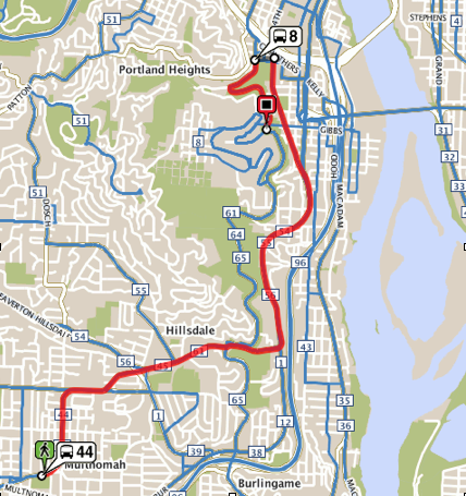
And it’s great for visitors too. On your next trip to Portland, we suggest visiting the Oregon History Center and Sam Jackson Park, conveniently accessible via Bus 8.
The base-map rendered by GeoServer.

The trip information bubble from OpenLayers.
Other Case Studies
Greek Regulatory Authority for Energy
The Greek Regulatory Authority for Energy (RAE) Geospatial Map is a web application developed by GET, created during RAE’s Spatial Data Infrastructure implementation. Development was based on: GED SDI Portal®, created and distributed by GET Ltd., under GPL V3, OpenGeo Suite, and Geonetwork OpenSource.
City of New York: A Hybrid Architecture
The City of New York Department of IT built a mapping architecture mixing proprietary and open source components to serve maps for multiple agencies and applications.
MassGIS: A GeoServer Enterprise Story

OpenGeo provides enterprise GeoServer support for Massachussetts' GIS agency.
Rijkswaterstaat: Connected to Open Source
Rijkswaterstaat calls on OpenGeo to build new open source features and add them back into the core project.
FCC Uses Open Source Tools for National Broadband Map
The Federal Communication Commission's National Broadband Map enables the public to see where broadband coverage is available in the United States. The site is completely powered by open source software including PostGIS, GeoServer, OpenLayers, Wordpress, Linux and Apache.
EBServices uses the OpenGeo Suite to deliver a spatial data extra service to SP-Ausnet a power company in the state of Victoria, Australia.

The City of Asheville’s two highly popular GIS applications, Steep Slope and Priority Places, were improved by implementing a hybrid architecture to include both ESRI and open source components.
OpenGeo provides enterprise support to Portland's regional transit authority, who have built a trip planner using the OpenGeo suite of products.
TsuDat: GeoNode and Disaster Modelling

GeoScience Australia and AIFDR have used web delivery to make tsunami modelling available to emergency managers across Australia in a way that was never possible before.

OpenGeo provides a collaborative map for Landgate, Western Australia's land data authority, using OpenLayers and a Versioning extension to the Web Feature Service Standard.
Tike : GeoServer Enterprise Support

Finnish IT agency Tike brings in OpenGeo to provide production support for GeoServer and custom development of web front-end tools.

International technical consulting firm Sweco hires OpenGeo to build cutting edge feature editing capabilities to the OpenLayers core.
Farallon: San Francisco Enterprise Addressing System

Farallon, an OpenGeo partner, develops a secure, web-based solution for the San Francisco Enterprise Addressing System using open source geospatial technology.