20% of the Netherlands is below sea level. 3 major rivers flow through the Netherlands. Standing between the Netherlands and the water is a massive and complex infrastructure of canals, dams and dikes that have been built and improved upon for centuries by Rijkswaterstaat, the Netherlands Ministry of Transport, Waterways and Public Works.
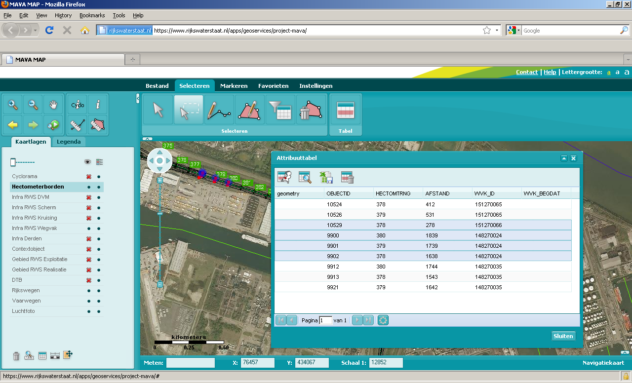
Rijkswaterstaat publishes an internal map of its infrastructure database via the MapViewer application, which provides access to over more than 250 layers of spatial information to the 12000 employees of Rijkswaterstaat. The 1.0 version of MapViewer was built with open source components (MapServer and Chameleon), and provided web access to capabilities that were previously only available via desktop GIS applications.
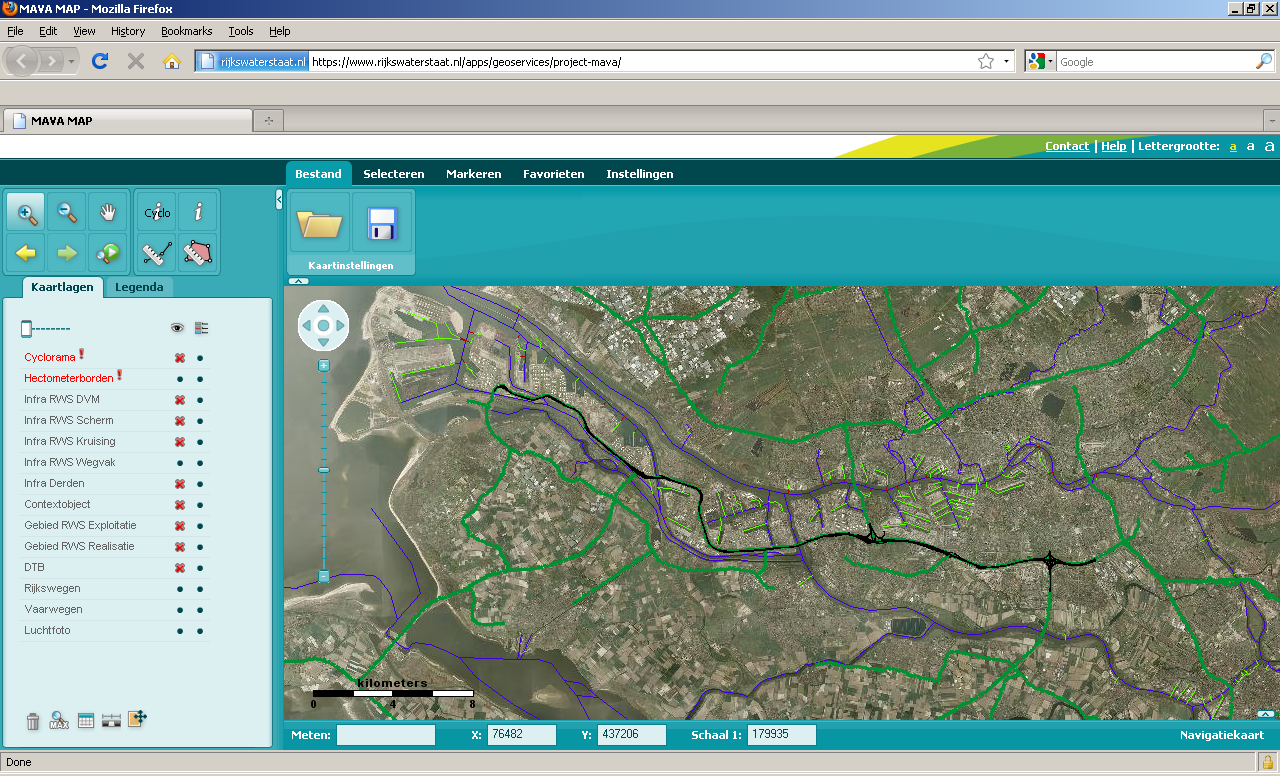
MapViewer uses open standards such as WMS and WFS to communicate between the front- and back-end. This allows different clients to view information from the MapViewer backends, and different servers to provide layers to the MapViewer front-end.
Throughout their history of working with open source, Rijkswaterstaat has taken care to maintain an understanding of the community that undergirds the software they use. They have done so by retaining local contractors with open source and OGC experience, and by attending conferences such as the international FOSS4G event, to make and maintain contacts with the development community.
Rijkswaterstaat had begun modernizing MapViewer, using OpenLayers as the mapping component and ExtJS as the user interface framework. The new interface was going to be slicker than the original, but it still needed all the old tools and some new ones. OpenLayers had a strong core, but was missing some features MapViewer needed:
- Continuous resolutions
- Scale bar component
- Navigation history
- Measurement tool
- Overview map customization
- Web map context support
Rijkswaterstaat came to OpenGeo because of our expertise in OpenLayers and our active involvement in the development community. OpenGeo team member Tim Schaub is an OpenLayers steering committee member and major developer.
“Some of the enhancements we needed (like the scalebar) were already available as prototypes, done by him. Tim has really made an impression with all his OpenLayers developments/contributions,” said Bart van den Eijnden, the Netherlands-based contractor who does much of the MapViewer development.
Because of their past experience with open source, Rijkswaterstaat knew from the start that they would want the enhancements delivered directly into the OpenLayers source tree. In this way, the new features would be available to other OpenLayers users, who would have an incentive to maintain and enhancement over the long term.
Thijs van Menen manages the MapViewer project at Rijkswaterstaat. “Another thing that I liked about this contract was the direct possibility to give the work done by Tim back to the community by Tim. In the past we have not always had the time to return our code enhancements to the projects. So this time we put it in the contract and it became part of Tim's work”
The code for all the new features was delivered into the OpenLayers trunk, with test cases and documentation. From there, Bart van den Eijnden accessed it and rolled the new functionality into the next releases of the MapViewer application. The current spatial data infrastructure at Rijkswaterstaat is a hybrid of proprietary and open source components: features are stored in an ArcSDE database, rendered with MapServer, edited with Geoserver WFS-T, and displayed in an OpenLayers/ExtJS web application (MapViewer 2.0).
MapViewer 2.0 became operational and is still serving the internal users at Rijkswaterstaat.
Other Case Studies
Greek Regulatory Authority for Energy
The Greek Regulatory Authority for Energy (RAE) Geospatial Map is a web application developed by GET, created during RAE’s Spatial Data Infrastructure implementation. Development was based on: GED SDI Portal®, created and distributed by GET Ltd., under GPL V3, OpenGeo Suite, and Geonetwork OpenSource.
City of New York: A Hybrid Architecture
The City of New York Department of IT built a mapping architecture mixing proprietary and open source components to serve maps for multiple agencies and applications.
MassGIS: A GeoServer Enterprise Story

OpenGeo provides enterprise GeoServer support for Massachussetts' GIS agency.
Rijkswaterstaat: Connected to Open Source
Rijkswaterstaat calls on OpenGeo to build new open source features and add them back into the core project.
FCC Uses Open Source Tools for National Broadband Map
The Federal Communication Commission's National Broadband Map enables the public to see where broadband coverage is available in the United States. The site is completely powered by open source software including PostGIS, GeoServer, OpenLayers, Wordpress, Linux and Apache.
EBServices uses the OpenGeo Suite to deliver a spatial data extra service to SP-Ausnet a power company in the state of Victoria, Australia.

The City of Asheville’s two highly popular GIS applications, Steep Slope and Priority Places, were improved by implementing a hybrid architecture to include both ESRI and open source components.

OpenGeo provides enterprise support to Portland's regional transit authority, who have built a trip planner using the OpenGeo suite of products.
TsuDat: GeoNode and Disaster Modelling

GeoScience Australia and AIFDR have used web delivery to make tsunami modelling available to emergency managers across Australia in a way that was never possible before.

OpenGeo provides a collaborative map for Landgate, Western Australia's land data authority, using OpenLayers and a Versioning extension to the Web Feature Service Standard.
Tike : GeoServer Enterprise Support

Finnish IT agency Tike brings in OpenGeo to provide production support for GeoServer and custom development of web front-end tools.

International technical consulting firm Sweco hires OpenGeo to build cutting edge feature editing capabilities to the OpenLayers core.
Farallon: San Francisco Enterprise Addressing System

Farallon, an OpenGeo partner, develops a secure, web-based solution for the San Francisco Enterprise Addressing System using open source geospatial technology.