The OpenGeo Suite
The OpenGeo Suite combines the power of open source plus the reliability and support of a single, stable vendor behind a full stack of software.
OpenGeo provides product support, training, and custom development to meet your geospatial requirements.

Our Solutions
The OpenGeo Suite delivers a complete set of professional and supported geospatial software that makes web mapping easy and more robust.
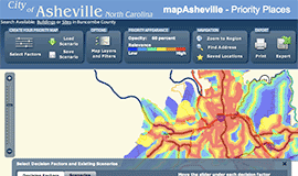
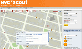
The OpenGeo Suite is a great basis for solving the critical geospatial IT issues facing governments, businesses, transit agencies, and other enterprises worldwide.
OpenGeo is proud to offer the federal government scalable, certified, and supported software and services through our GSA schedule.

Case Studies
Greek Regulatory Authority for Energy
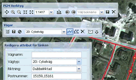
The Greek Regulatory Authority for Energy (RAE) Geospatial Map is a web application developed by GET, created during RAE’s Spatial Data Infrastructure implementation. Development was based on: GED SDI Portal®, created and distributed by GET Ltd., under GPL V3, OpenGeo Suite, and Geonetwork OpenSource.