GeoExplorer Castellbisbal
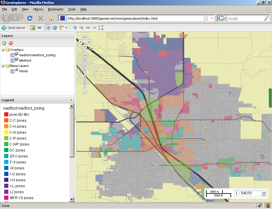
GeoExplorer Castellbisbal allows users to explore the official cartographic information of Castellbisbal. Developed by GeoData, the applications allows users to explore the data with predefined maps as well as the ability to create maps on the fly. The map viewer enables users to interact with the data, download or print views, locate and get extra information from elements, and manipulate the layer tree to adjust the map composition to their needs. This application was built using GeoExt.